
© Joe Douglas. 2017
The Gote Mill Race in the 1940’s
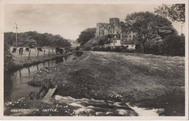
The spillway can be seen at the bottom of this picture that I think was taken in the early 1930’s because the bridge at the bottom of High Sand Lane is still intact. That bridge was known as the Barrel Bridge. No doubt a reference to it being a short cut between the brewery and the pubs on the main street.
It was damaged on 8th August 1830 when the flood water washed away one span. . I remember seeing the remains of it in the 1940’s.
By the early 1940’s the place where the run off entered the river was completely hidden in bushes.
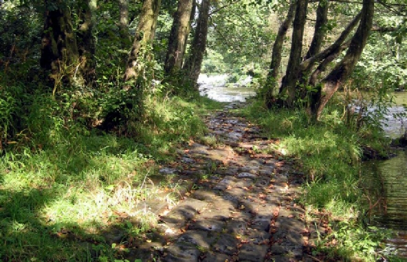
The track seen in the bottom left ‘forded’ the water course and widened it into the paddling pool mentioned below.
This picture of the Castle shows the spill way on the mill race. The water cascades down a stone ramp into a pool. I remember the pool was roughly circular and just the right depth for toddles and small children to paddle/play in.
When I paddled in it there were bushes at the top of the spillway and the plank was not present. The only way to progress up the fields was to paddle through the pool.
The mill race pre-
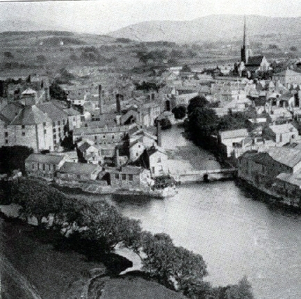
This page tries to describe the features seen when walking from Bridge Street to the Lands swimming pool via the Mill Fields, now part of the Memorial Gardens.
Starting in Bridge Street the route crossed the river into a lane that passed between the Harris Mill and the allotments that were replaced by the current car park.
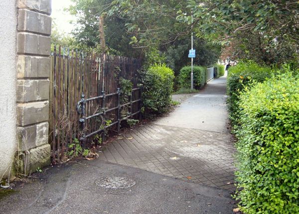
The picture below, taken in 2002, shows the lane looking back from the corner of the mill towards the bridge.
Having crossed the Bridge from Bridge Street the lane crosses a bridge,over a gap for animal movement between the fields on either side. That is under the silver railings in the distance. It then crossed the Mill Race at the corner of the Harris Mill under the paved bridge area and the ornate railings. Standing on the railings you could look into crystal clear water in the mill race at the long weeds waving in the fast current and catch the occasional glimpse of one of the many eels that lived in the fast flowing water.
Access to the field between the mill race and the river was over an iron gate that closed the gap in the hedge in the middle of the picture. Just upstream from the gate there was a wooden building attached to the mill and spanning the race.. When you peeped through knot holes you only saw pipes going into the building so I assume it was a water take off for the mill. There was certainly no waterwheels inside.
Finally you came to the sluice gate that let the river into the mill race. The path continued over the mill race via a substantial plank. There was no handrail and you had to use the iron axle of the sluice operating system if you needed any support.
The photograph, taken in 2002, shows some of the operating hardware we used as a ‘handrail’. The plank crossing the now empty and weed grown gap now has a wooden handrail.
The sluice was made redundant and the mill race emptied by attacking the dam and reducing the river level. The sluice gate may have been left in place as protection against flooding.
This picture, taken, from the mill race side, shows the ruined dam in 2002. The river can be seen flowing through the breach. Clearly the water level in the old swimming pool has been reduced by several feet so I doubt if it is used today.
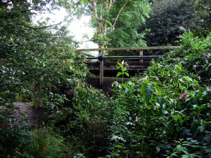
Moving upstream the next point of interest was a spillway that helped maintain the level of the race in times of flood. It drained across the field and into the Derwent opposite the mouth of the Cocker.
Moving on again the next point of interest was a weed free concrete section about 20 yards long with the upstream end deeper than the down stream one.
This was a favourite place to learn to swim because if you were facing upstream the fast water provided extra lift to keep you afloat. You started up stream, leant forward and tried to swim. At worst you were swept backwards to the ‘shallow’ end where you climbed out and walked to the other end to try again. Once you got the action right you stayed in place or even went upstream.
Next on the way upstream was a sluice used to drain the mill race for servicing. It was about three feet wide and three feet deep. Water normally spilled over the top into a mini swamp that drained into the river. Unless there was a particularly dry spell the swamp was always muddy and the normal way past it was along the edge of the mill race and wade through, or step over if you were big enough, the water spilling over the top of the gate.
Swimming in rivers is frowned on today as much too dangerous. Instead a new outdoor adventure activity has been invented -
Imagine the volumes of Heath & Safety regulations to read and the risk analysis forms to be filled in before even starting to have any of the fun we took for granted!!!
The Lands or Ladyboat Swimming Pool
The large pool formed by the dam was an incredible swimming place known a ‘The Lands’ or ‘Ladyboat’. I have no idea why. Away from the dam there were no dangerous currents and with its bottom of smooth stones was a great place to spend a few hours on a hot day. The fields on both banks were accessible and whole families from grandparents to babies used to go there.
The upstream end of the pool was on a bend in the river and on the outside of the bend was a deep area below a high bank.
The bank was covered by a huge bed of Himalayan Balsam which can grow up to 10 feet tall in a single season. The plants are easily broken with fairly soft stems. The older children used to run and jump into the deep pool crashing through the Balsam on the way.
Click on picture to return
Click on picture to return
Click on picture to return
Click on picture to return
Click on picture to return
Click on picture to return
Click on picture to return
Click on picture to return